

An exciting PhD studentship opportunity which we are involved in, cross-posted from the Data Analytics and Society Centre for Doctoral Training website. Deadline: 3rd June 2018. Towards data-driven policy development: the case of London’s built cycling infrastructure In 2013, £913m of funds was allocated over 10 years for investment in London’s cycling infrastructure. Much of this — […]
DfT cycling data for research/OpenStreetMap use – as GeoJSON

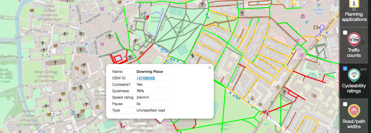
A techie post, about some cycling data which may be of use to people researching cycling. Back in 2011, we were involved in a project to convert some newly-collected cycling data from the UK’s Department for Transport for use in OpenStreetMap. The data was originally collected for the DfT’s Transport Direct project (which has since […]
Intern vacancies Summer 2018
CycleStreets is seeking one or more paid interns to work on a variety of projects this summer. About CycleStreets CycleStreets is a social enterprise based in Cambridge, working to help get more people cycling by the provision of information on cycle-friendly routes, and various tools for use by cycle advocacy groups. We are best known for our journey […]
Every GB road collision – mapped
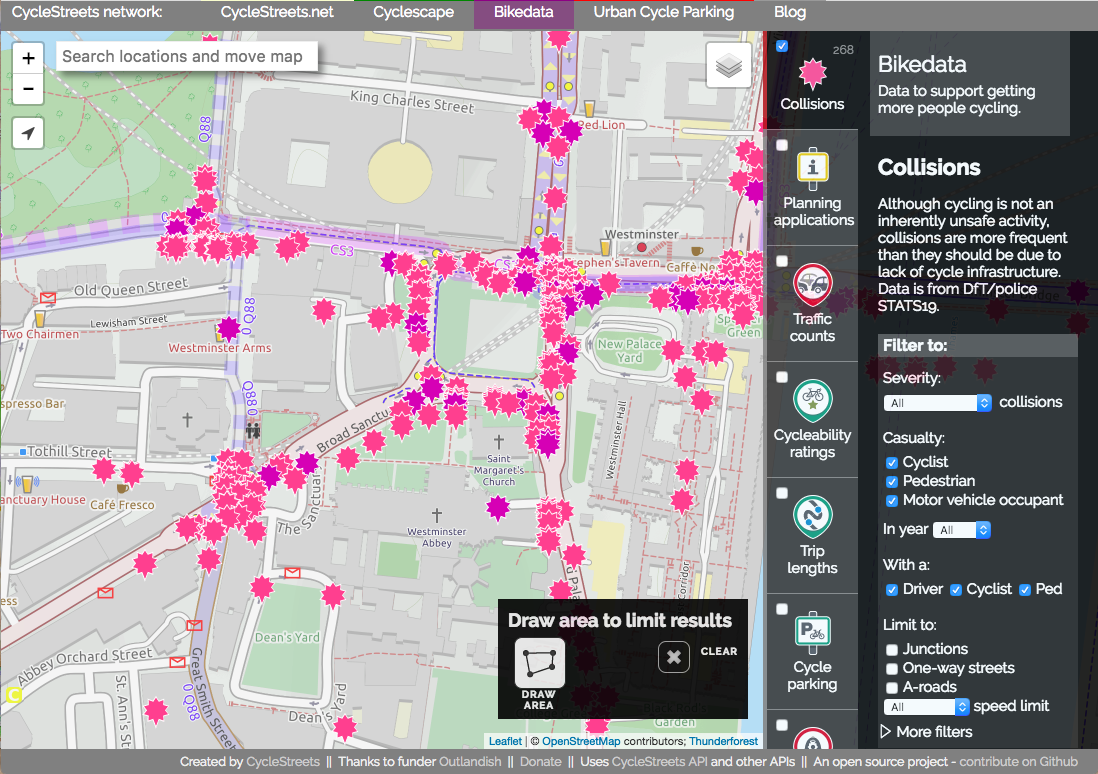
As campaigners for getting more people cycling, a crucial issue for us is safety of our streets. Safer streets means more people cycling – as places like the Netherlands and other European cities show. Every year, the Department for Transport issues a massive data release, detailing every reported road collision in Great Britain, what vehicles […]
Developers – need cycle parking in your app? Use our Cycle parking API
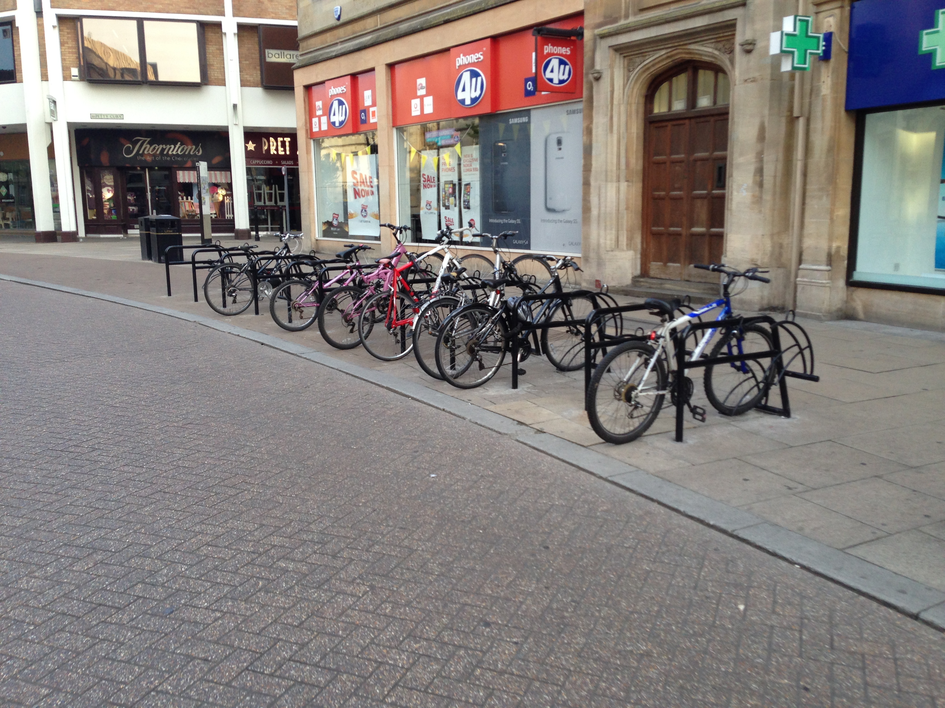
This is a post for app developers. So it contains some techy stuff which probably won’t be of interest to our cycle routing users. Knowing where you can find cycle parking as a cyclist, especially in cities, is helpful in avoiding theft, as well as helping keeping busy streets tidy. By providing information on where […]
Turn cost factors – for safer and less wiggly routes
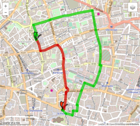
Urban cycle routes can often be very circuitous because they have to work around one-way systems, tunnel under major roads, use paths across parks and short links connecting residential areas. For many years now, CycleStreets has included the cost of making each turn in the overall process of choosing a practical cycle route. The model […]
Bikedata beta – data for cycle campaigners in one place
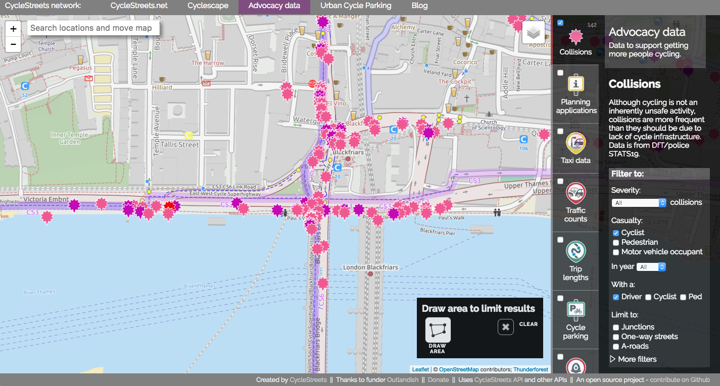
We’ve been working on a new website, Bikedata (working title), providing cycle campaigners around the UK with a ‘one-stop shop’ for data that helps them in their work. Today we announce the open beta of the site – ready for you to try out, but we know there are bugs. Collision data Helping campaigners campaign […]
CycleStreets.net in the Propensity to Cycle Tool
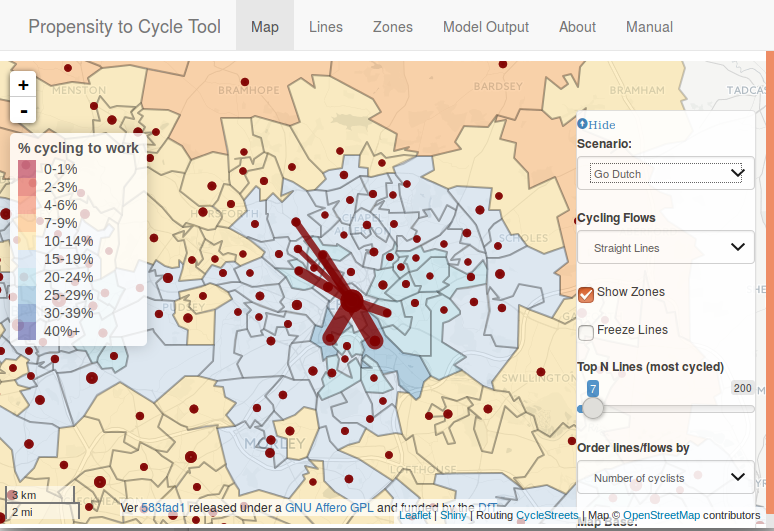
A guest post from Robin Lovelace: After 2 years in the making, the paper describing the Propensity to Cycle Tool (PCT), and the thinking behind it, has finally been published (Lovelace et al. 2016). The PCT is an online tool for helping to decide where to prioritise cycling policies such as new cycle paths. The […]
Bike Hub app relaunched
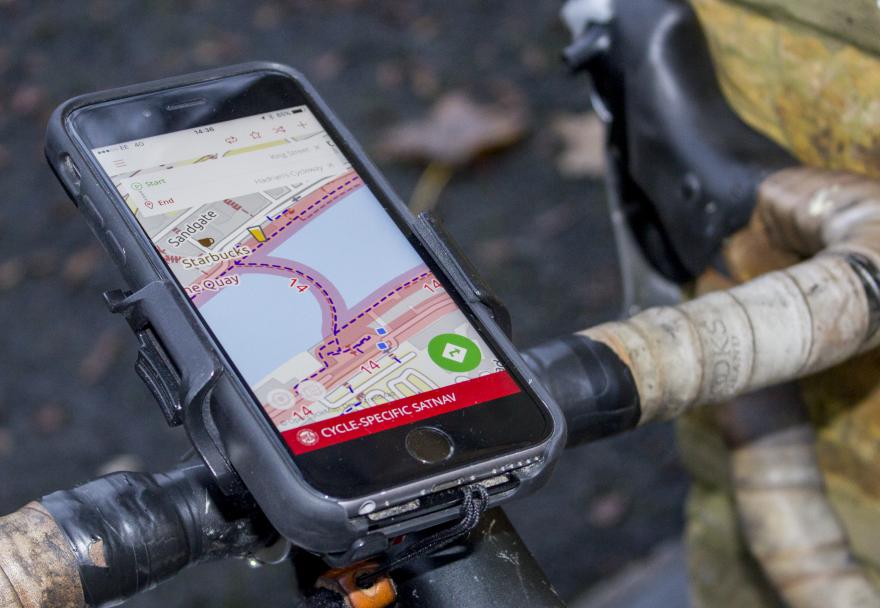
A guest post from Carlton Reid, who writes about the fantastic new version of the Bike Hub app: The Bike Hub cycle-specific satnav app, available for iPhone and Android, has been redesigned from scratch. Now six years old the all-new app still uses the CycleStreets routing engine so can still navigate on quiet roads, cycleways and […]
CycleStreets wins Cycle Planning Awards 2016 ‘best innovation’ category
We’re delighted that CycleStreets has won the ‘best innovation’ category in the Cycle Planning Awards 2016, organised by Landor Links. The award, for ‘CycleStreets and Cyclescape’, recognises our work on developing the CycleStreets suite of tools, including Cyclescape. As the winners announcement states, “CycleStreets provide data to a wide variety of journey planning websites and apps, encouraging the […]