Our journey planner, and much of the rest of our work, makes use of OpenStreetMap (OSM), the best available data source for cycling and walking internationally.
We are one of the earliest community members and organisational users of OSM, and have strong expert knowledge in it. To see some of the insight we bring, see our State of the Map 2019 talk.
We have a strong understanding of its data model, legal/IP issues, issues relating to merging of data, and of course the use of OSM data in practice.
We love OSM ❤️ and its principles – a data source which is open, free, crowdsourced, community-orientated, and created by cyclists (amongst others).
Get Mapping guide
This brochure, that we created in conjunction with Cycling Scotland, explains how you can help improve CycleStreets and OpenStreetMap to help people find their way.
Cycle mapping for cycle routing (15MB download, may take a short while to download)
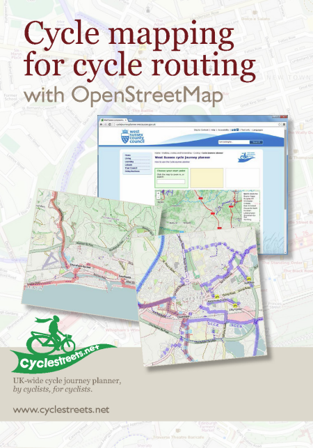
Or view using magazine-style reader on Issuu.