Dublin Region Active Travel Challenge

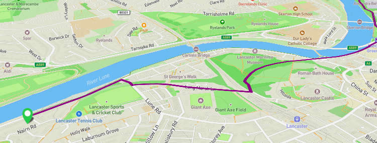
We’re proud to announce that, not one, but two of our new projects are finalists in the Active Travel Challenge being run by Smart Dublin. Smart Dublin brings together technology providers, academia and citizens to transform public services and enhance quality of life. The Challenge showcases how open data can be used to support and […]

Read more
StreetFocus beta now live!

This update has been cross-posted from our blog on the StreetFocus website. StreetFocus is our project aiming to help communities benefit from new developments when they are proposed, and to help everyone find out more easily about proposals in their area. Since last summer, we’ve been working hard to create the new StreetFocus website. We’re […]

Read more
London Cycling Data

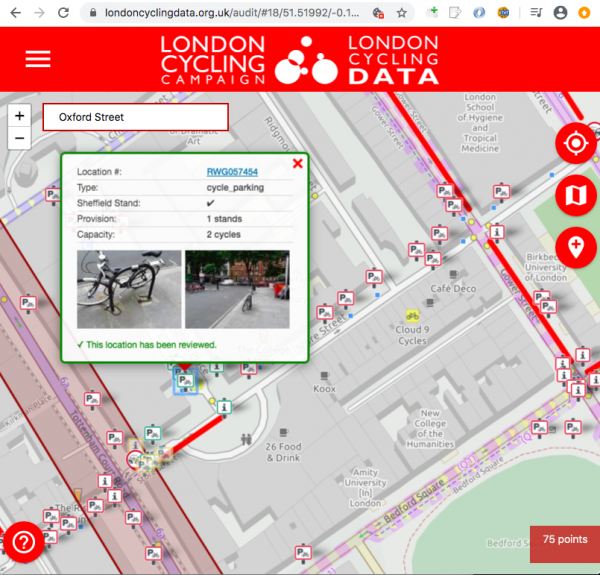
Transport for London recently released a major new dataset detailing every piece of cycle infrastructure in Greater London. We’re proud to announce that we’re working with London Cycling Campaign (LCC) on a new project to help maintain that dataset, for TfL. This project will use LCC’s active volunteers and borough groups – the people who […]

Read more
CycleStreets wins Cycle Planning Awards 2016 ‘best innovation’ category

We’re delighted that CycleStreets has won the ‘best innovation’ category in the Cycle Planning Awards 2016, organised by Landor Links. The award, for ‘CycleStreets and Cyclescape’, recognises our work on developing the CycleStreets suite of tools, including Cyclescape. As the winners announcement states, “CycleStreets provide data to a wide variety of journey planning websites and apps, encouraging the […]

Read more
TransportHack @ Smarter Travel LIVE!

Matt Whittle writes: This weekend we attended the Smarter Travel Live hack weekend. The aim of the hack event was to produce an output to support one of five challenges set by various organisations. We chose to tackle the Carplus challenge which was to try and find a way to reduce the use of cars as the primary […]

Read more
How can people help improve mapping used for CycleStreets?

Finding out about good cycle routes – where it is safe and convenient to cycle – means availability of good maps and the knowledge of local people about their area. We’ve created a new edition of our community mapping guide, Cycle mapping for cycle routing, freshly updated for 2014. The brochure explains how people can help improve CycleStreets […]

Read more