
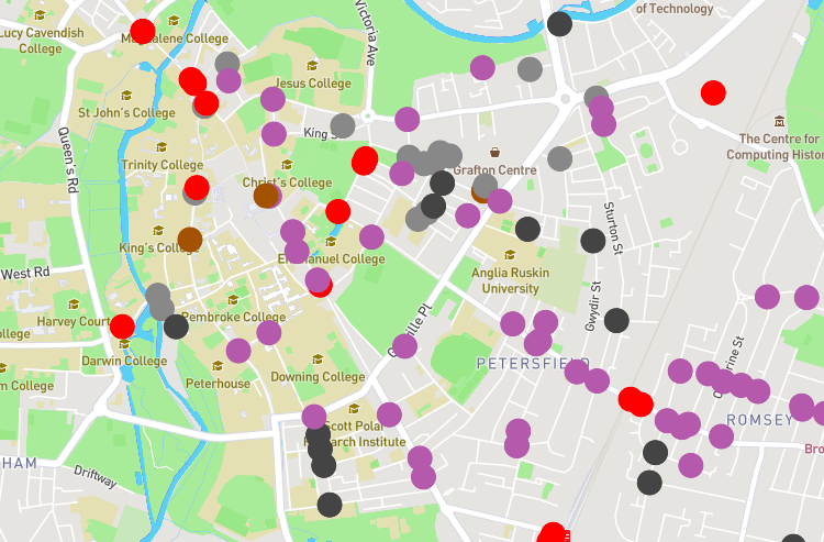
Modal filters – measures such as bollards, gates, cycle contraflows, etc., are important ways to prevent motor traffic passing through residential areas. They have been much in the news recently, but are in fact very common, and have been in existence since at least the 1980s. However, there is no national mapping data on where […]
Dublin Region Active Travel Challenge

We’re proud to announce that, not one, but two of our new projects are finalists in the Active Travel Challenge being run by Smart Dublin. Smart Dublin brings together technology providers, academia and citizens to transform public services and enhance quality of life. The Challenge showcases how open data can be used to support and […]
StreetFocus beta now live!
This update has been cross-posted from our blog on the StreetFocus website. StreetFocus is our project aiming to help communities benefit from new developments when they are proposed, and to help everyone find out more easily about proposals in their area. Since last summer, we’ve been working hard to create the new StreetFocus website. We’re […]
London Cycling Data
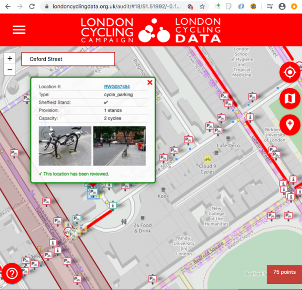
Transport for London recently released a major new dataset detailing every piece of cycle infrastructure in Greater London. We’re proud to announce that we’re working with London Cycling Campaign (LCC) on a new project to help maintain that dataset, for TfL. This project will use LCC’s active volunteers and borough groups – the people who […]
Our talk at State of the Map 2019: Is the OSM data model creaking?
We gave a talk at the State of the Map 2019 conference, the main annual meeting for OpenStreetMap, whose data we use for our cycle routing. Our talk was entitled “Is the OSM data model creaking?”. A video of the talk is now online: Here are the slides from the talk: Is the OSM […]
TfL Cycling Infrastructure Database
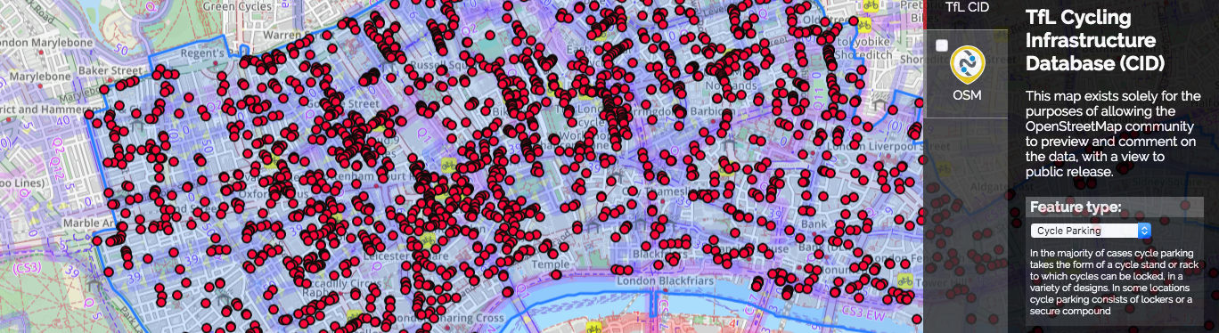
Transport for London (TfL) have created a new database of cycling infrastructure, containing 240,000 assets, covering all of Greater London. This is proposed to be released as open data. This groundbreaking database contains every cycle infrastructure asset within Greater London, including assets on and off-carriageway. The assets surveyed are: cycle parking; signals; signage; traffic calming measures; […]
PhD studentship with University of Leeds: Towards data-driven policy development: the case of London’s built cycling infrastructure

An exciting PhD studentship opportunity which we are involved in, cross-posted from the Data Analytics and Society Centre for Doctoral Training website. Deadline: 3rd June 2018. Towards data-driven policy development: the case of London’s built cycling infrastructure In 2013, £913m of funds was allocated over 10 years for investment in London’s cycling infrastructure. Much of this — […]
DfT cycling data for research/OpenStreetMap use – as GeoJSON

A techie post, about some cycling data which may be of use to people researching cycling. Back in 2011, we were involved in a project to convert some newly-collected cycling data from the UK’s Department for Transport for use in OpenStreetMap. The data was originally collected for the DfT’s Transport Direct project (which has since […]
Every GB road collision – mapped
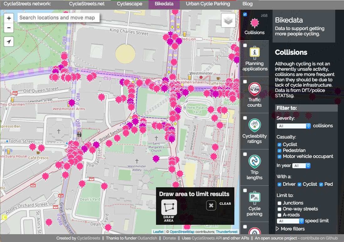
As campaigners for getting more people cycling, a crucial issue for us is safety of our streets. Safer streets means more people cycling – as places like the Netherlands and other European cities show. Every year, the Department for Transport issues a massive data release, detailing every reported road collision in Great Britain, what vehicles […]
Developers – need cycle parking in your app? Use our Cycle parking API
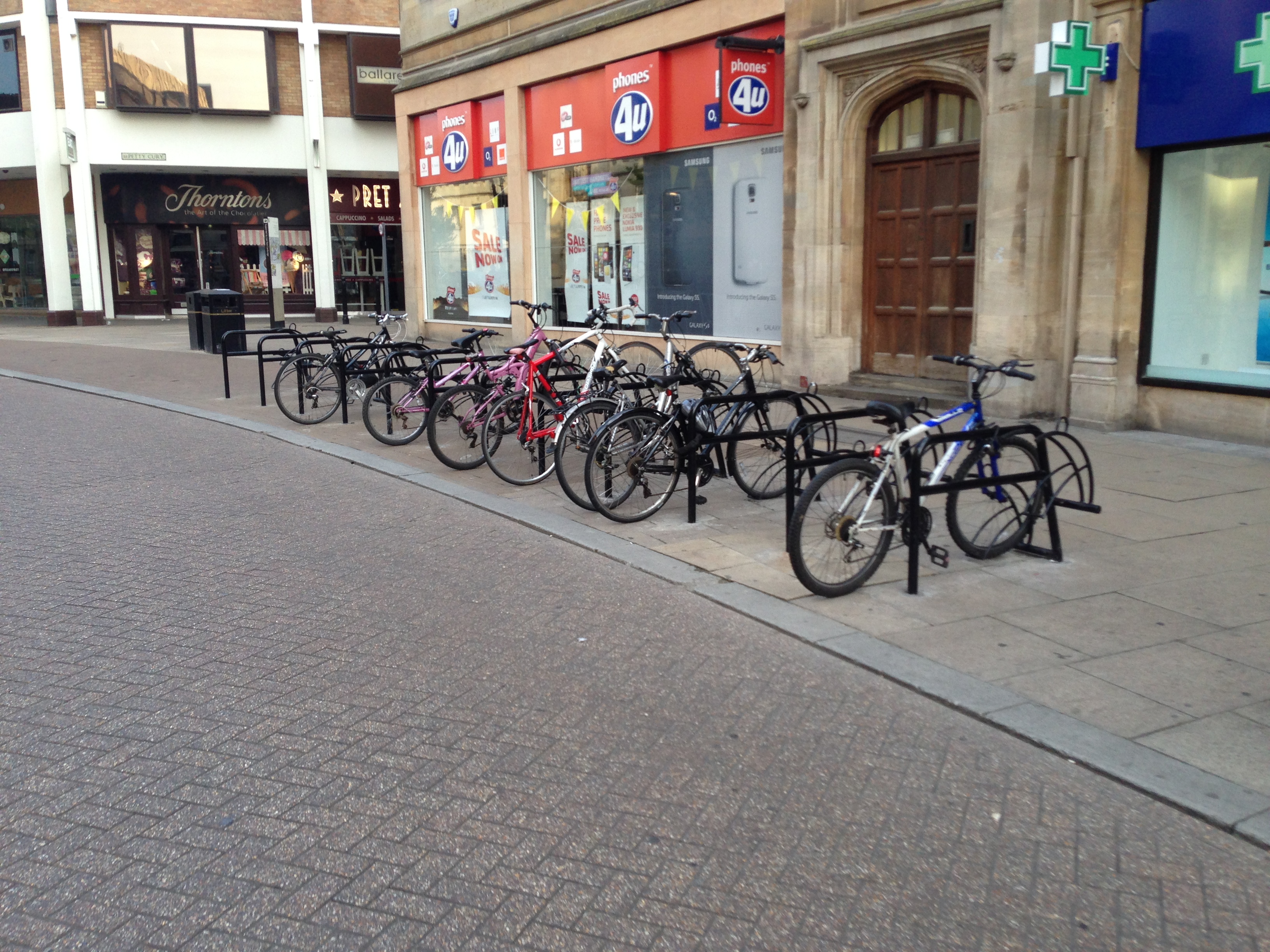
This is a post for app developers. So it contains some techy stuff which probably won’t be of interest to our cycle routing users. Knowing where you can find cycle parking as a cyclist, especially in cities, is helpful in avoiding theft, as well as helping keeping busy streets tidy. By providing information on where […]