
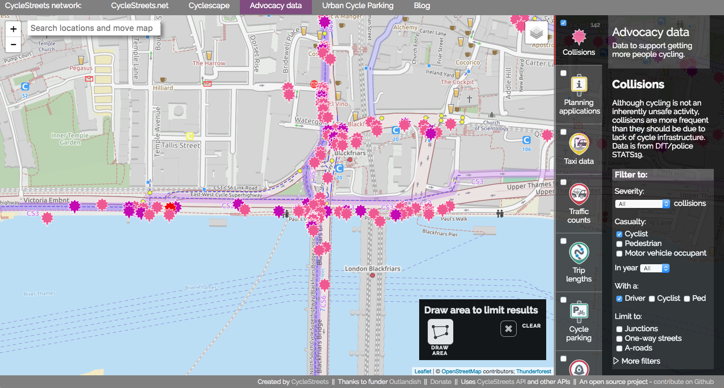
We’ve been working on a new website, Bikedata (working title), providing cycle campaigners around the UK with a ‘one-stop shop’ for data that helps them in their work. Today we announce the open beta of the site – ready for you to try out, but we know there are bugs. Collision data Helping campaigners campaign […]
CycleStreets.net in the Propensity to Cycle Tool
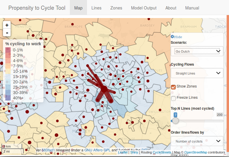
A guest post from Robin Lovelace: After 2 years in the making, the paper describing the Propensity to Cycle Tool (PCT), and the thinking behind it, has finally been published (Lovelace et al. 2016). The PCT is an online tool for helping to decide where to prioritise cycling policies such as new cycle paths. The […]
Making data more usable by campaigners: our Outlandish Fellowship
We’re really pleased to announce that we’ve been selected for the Outlandish Fellowship to help local cycle campaigners by expanding our collisions data pages into a broader resource covering more types of data (e.g. traffic counts, pollution) and add lots of new ways to access it. Helping campaigners campaign Getting more people cycling brings a more sustainable and efficient transport […]
CycleHack Cambridge 2016
CycleHack is a 48-hour event aiming to make cities cycle-friendly through reducing the barriers to cycling and prototyping new ideas to improve the cycling experience and encourage more and safer cycling. More than 40 other cities around the world have signed up to host CycleHack events in their communities over the weekend of 24 to […]
Urban Cycle Parking website goes live across London
A new website, Urban Cycle Parking, [urbancycleparking.org.uk], built by CycleStreets, has been launched by London Cycling Campaign and Transport for London, aiming to outline where existing bike parking facilities are available in and around the capital and invites people to highlight existing facilities as well as outlining where more is needed. The site builds on the crowdsourcing components of […]
TransportHack @ Smarter Travel LIVE!
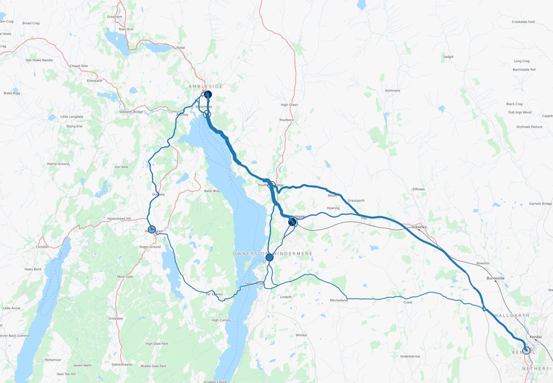
Matt Whittle writes: This weekend we attended the Smarter Travel Live hack weekend. The aim of the hack event was to produce an output to support one of five challenges set by various organisations. We chose to tackle the Carplus challenge which was to try and find a way to reduce the use of cars as the primary […]
How can people help improve mapping used for CycleStreets?
Finding out about good cycle routes – where it is safe and convenient to cycle – means availability of good maps and the knowledge of local people about their area. We’ve created a new edition of our community mapping guide, Cycle mapping for cycle routing, freshly updated for 2014. The brochure explains how people can help improve CycleStreets […]
“CycleStreets: our story” – Green Enterprise talk, Monday 28th, Cambridge
We’re giving a talk to Green Enterprise, in Cambridge, today (Monday 28th January 2013). Themes covered in the talk will include: Who we are What we provide A bit about how the journey planner works OpenStreetMap and data collection Volunteer data collection Open-sourcing Funding Competition Big projects Challenges for the future Do come! Full details […]
London Cyclist magazine features OpenStreetMap & CycleStreets
We’ve contributed a two-page article to London Cycling Campaign‘s London Cyclist magazine – sent to all its members – on OpenStreetMap. (Do join LCC if you cycle in London!) The article introduces the LCC journey planner that we created for them, and talks about how it uses OpenStreetMap, a project that cyclists can contribute to. The […]
Visualisations for the England Cycling Data project
As part of ongoing efforts for the England Cycling Data project, we’ve been keen to get visualisations done, to show the extent of the data and to show where merging needs to be done. Shaun from ITOworld – who are experts in the collection, management, analysis and presentation of complex transport data – has been working […]