
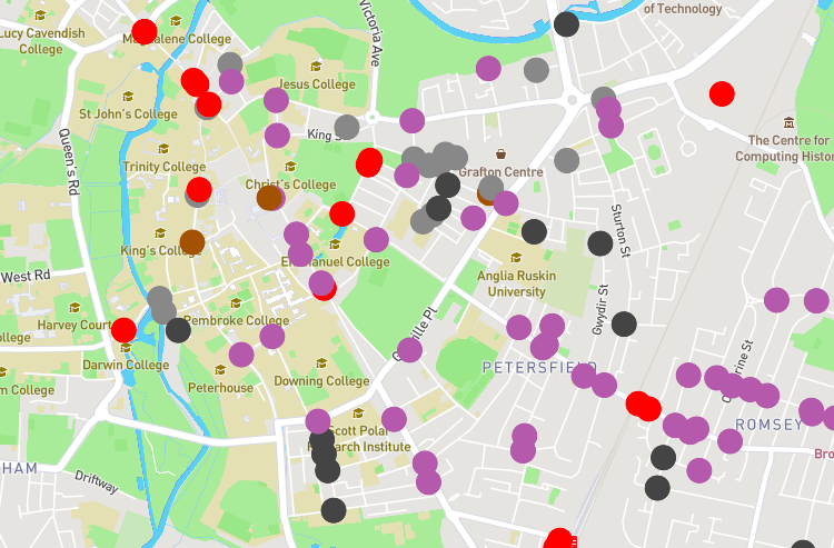
Modal filters – measures such as bollards, gates, cycle contraflows, etc., are important ways to prevent motor traffic passing through residential areas. They have been much in the news recently, but are in fact very common, and have been in existence since at least the 1980s. However, there is no national mapping data on where […]
Every GB road collision – mapped
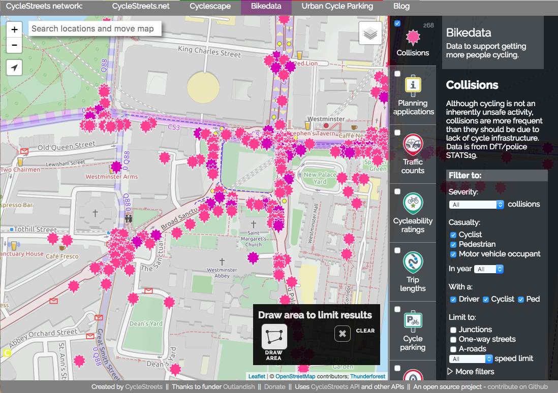
As campaigners for getting more people cycling, a crucial issue for us is safety of our streets. Safer streets means more people cycling – as places like the Netherlands and other European cities show. Every year, the Department for Transport issues a massive data release, detailing every reported road collision in Great Britain, what vehicles […]
Developers – need cycle parking in your app? Use our Cycle parking API
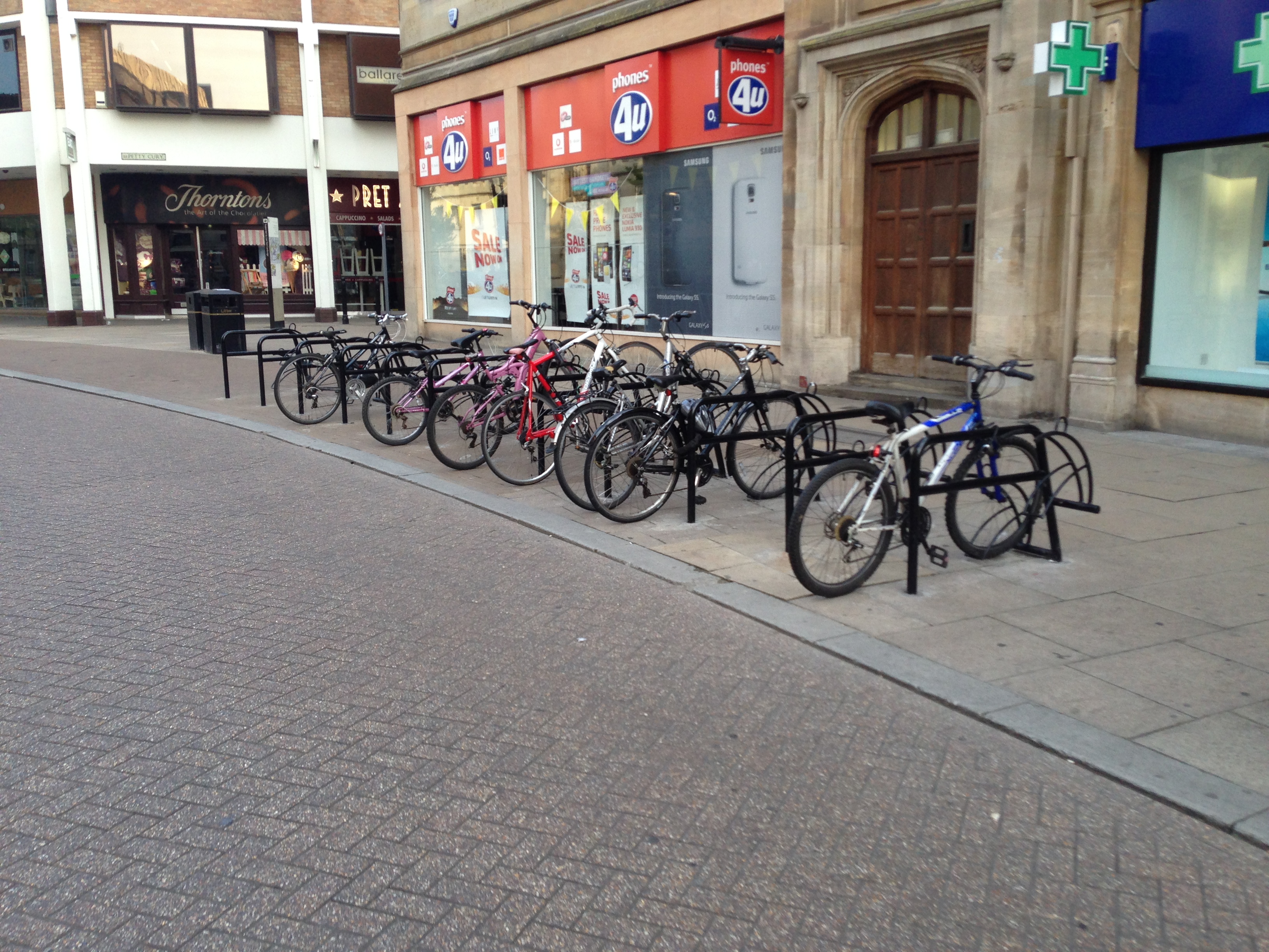
This is a post for app developers. So it contains some techy stuff which probably won’t be of interest to our cycle routing users. Knowing where you can find cycle parking as a cyclist, especially in cities, is helpful in avoiding theft, as well as helping keeping busy streets tidy. By providing information on where […]
Bikedata beta – data for cycle campaigners in one place
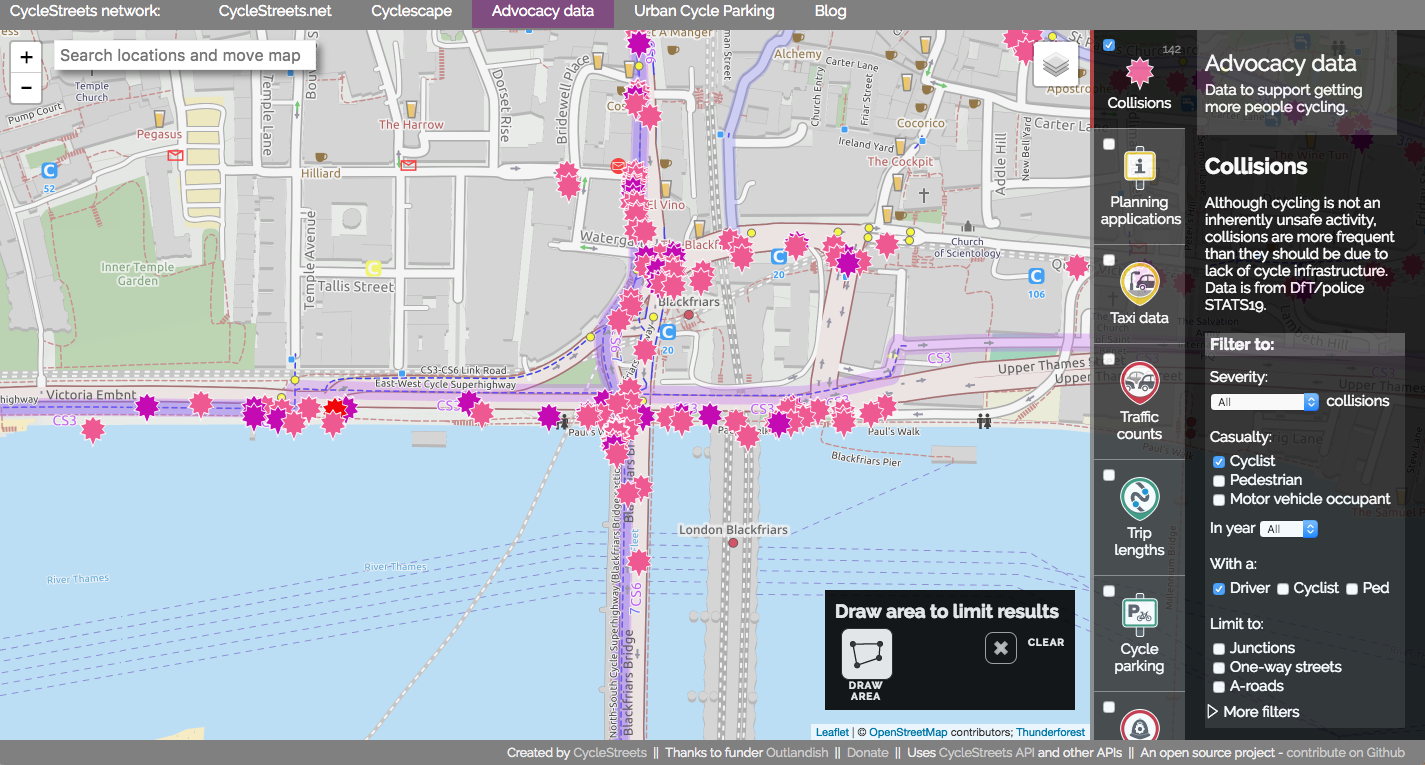
We’ve been working on a new website, Bikedata (working title), providing cycle campaigners around the UK with a ‘one-stop shop’ for data that helps them in their work. Today we announce the open beta of the site – ready for you to try out, but we know there are bugs. Collision data Helping campaigners campaign […]