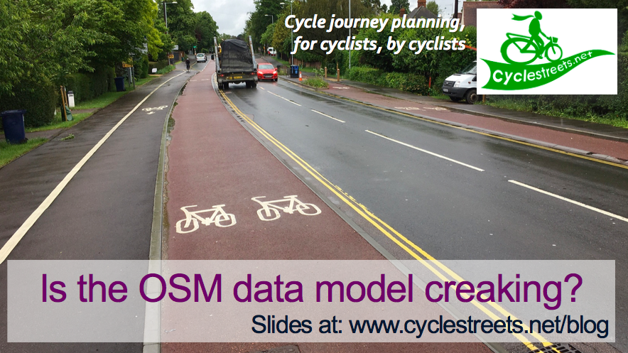
Routing developer needed for short-term work

We’ve obtained a £5,000 grant from the Technology Strategy Board’s Innovation Vouchers scheme, to work on some interesting routing challenges to help increase the quality of the routing we can offer. Our core aim with CycleStreets is to create “routing that thinks like a cyclist”. One of these aspects is the way that cyclists treat […]

Read more
England Cycling Data project

The England Cycling Data project aims to incorporate open data on cycling infrastructure released by the UK’s Department for Transport into OpenStreetMap. We’ve started taking account of a greater range of information about cycle routes in OpenStreetMap (the project from which our routing is created). In particular, taking account of surface quality, barriers, traffic calming, and lighting […]

Read more
Estimating elevation inside tunnels

CycleStreets has been using elevation data for several years to help avoid un-necessary hills in planned routes. The elevations we use are interpolated from open data surveys that provide an estimate of the height of the ground above sea level. The results of the processing can be seen in the elevation profile of every route planned […]

Read more
Taking CycleStreets cycle routing another step further: surface quality, barriers, traffic calming, lighting

We’re pleased to announce a series of upgrades to the routing that have been rolled out in the last few months. We’ve extended the range of OpenStreetMap tags that the CycleStreets routing engine uses to find cycle routes. This has helped us improve the quality of the suggested bike routes in two main ways: by […]

Read more
Cycle journey planning in Scotland

Over the last year we’ve been pleased to work with Cycling Scotland on a range of projects, now all completed and outlined below. These projects, which have been achieved thanks to Cycling Scotland’s grant and funding of £22k, will help improve improve CycleStreets, to help people find their way and consider cycling as a practical option […]

Read more
OpenStreetMap community mapping guide – for Cycling Scotland

We’re pleased to announce the availability of a new brochure that we’ve done for Cycling Scotland, aimed at motivating people to get mapping for OpenStreetMap. Cycle mapping for cycle routing with OpenStreetMap – the new community mapping guide – explains how you can get involved. Cycling Scotland is the national cycle promotion organisation for Scotland, working to […]

Read more