
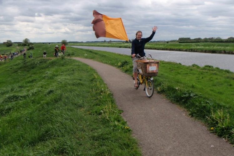
2020 has forced us to divert, dismount and widen our path! More and more people have discovered the joy of cycling this year because of the quieter streets resulting from the coronavirus pandemic. Our data interface has seen over 5 million itineraries planned. This drives our website, apps, and some third party apps and websites, […]
StreetFocus: Moving from beta to live
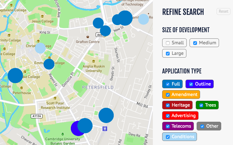
Following the launch of our beta site in March, just before lockdown hit us and disrupted many of our plans, we’re now busily working much more actively on StreetFocus again! We’re working towards a launch in April, with some tidying-up likely in May/June in response to user feedback. The key areas of work remaining are: […]
Privacy policy update

We’ve updated the privacy policy on our main site. This replaces our previous policy that had become rather old, and provides more detail. We aim at all times to operate a privacy-aware site that protects your rights.
Widen My Path – where are cycleways and wider pavements for distancing needed?
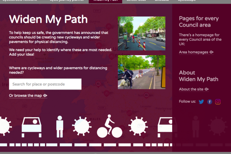
To help keep us safe, the government has announced that councils should be creating new cycleways and wider pavements for physical distancing. Accordingly, we are pleased to announce the launch of Widen My Path, a new tool to enable local groups to identify where changes are needed, demonstrate support for them, and for Local Authorities […]
StreetFocus beta now live!
This update has been cross-posted from our blog on the StreetFocus website. StreetFocus is our project aiming to help communities benefit from new developments when they are proposed, and to help everyone find out more easily about proposals in their area. Since last summer, we’ve been working hard to create the new StreetFocus website. We’re […]
Cyclescape website redesign coming soon
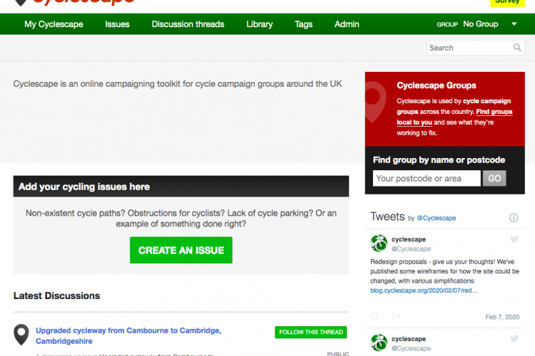
Cross-posted from our Cyclescape blog: Over the last five years, we’ve received lots of feedback about our Cyclescape website, which started in 2012, as well as much experience ourselves as users. As a result of funding from our new project StreetFocus, we’re pleased to announce that we will shortly be starting work on a full-scale redesign […]
London Cycling Data
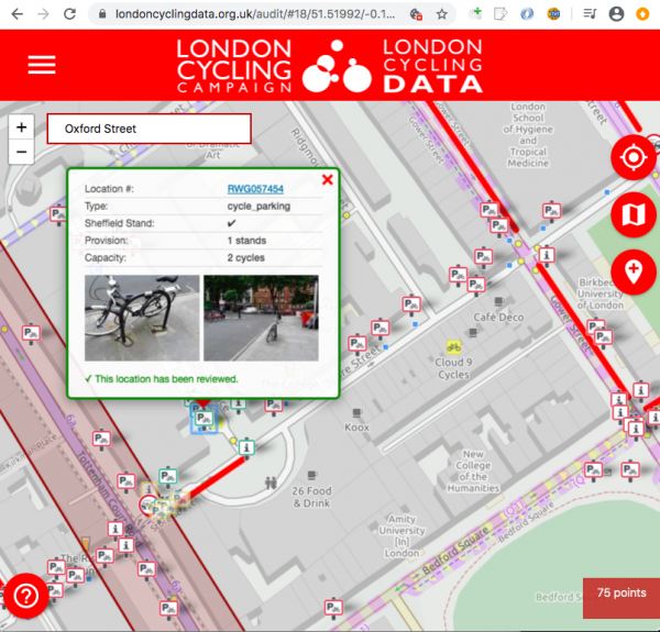
Transport for London recently released a major new dataset detailing every piece of cycle infrastructure in Greater London. We’re proud to announce that we’re working with London Cycling Campaign (LCC) on a new project to help maintain that dataset, for TfL. This project will use LCC’s active volunteers and borough groups – the people who […]
Our talk at State of the Map 2019: Is the OSM data model creaking?
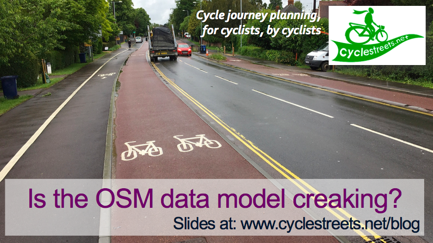
We gave a talk at the State of the Map 2019 conference, the main annual meeting for OpenStreetMap, whose data we use for our cycle routing. Our talk was entitled “Is the OSM data model creaking?”. A video of the talk is now online: Here are the slides from the talk: Is the OSM […]
TfL Cycling Infrastructure Database
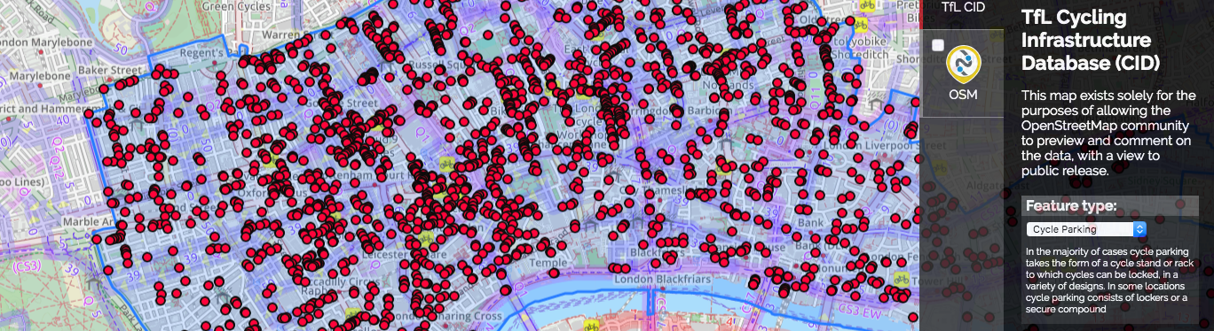
Transport for London (TfL) have created a new database of cycling infrastructure, containing 240,000 assets, covering all of Greater London. This is proposed to be released as open data. This groundbreaking database contains every cycle infrastructure asset within Greater London, including assets on and off-carriageway. The assets surveyed are: cycle parking; signals; signage; traffic calming measures; […]
Android app beta programme

You can now sign up as a beta-tester for our Android app, simply by opting into the beta programme in the Google Play Store. This enables you to get the latest improvements and give feedback before they are released officially. We’re currently making lots of changes to the app (thanks to the great work of […]