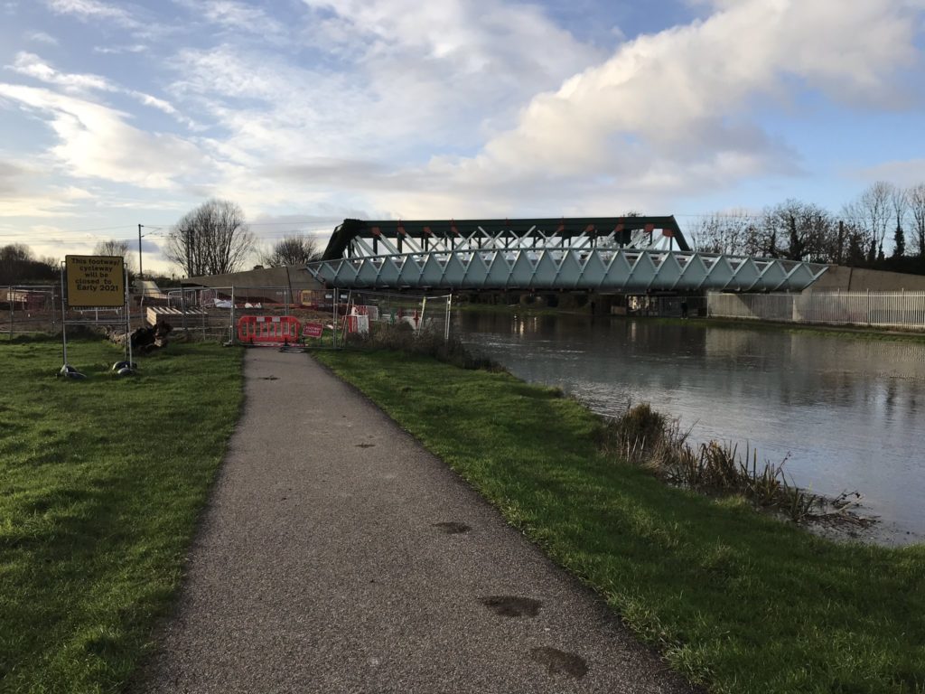
2020 has forced us to divert, dismount and widen our path!
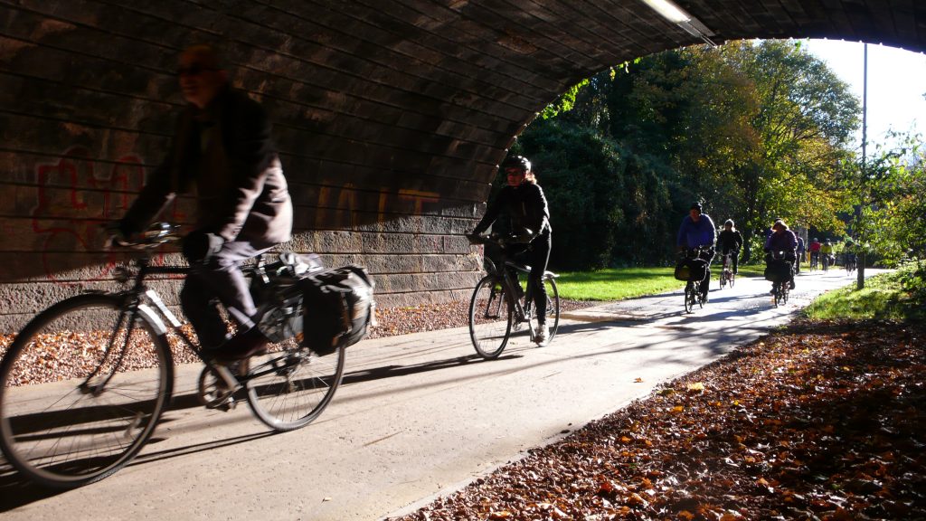
More and more people have discovered the joy of cycling this year because of the quieter streets resulting from the coronavirus pandemic.
Our data interface has seen over 5 million itineraries planned. This drives our website, apps, and some third party apps and websites, plus analytical research uses.
Better route quality
Much of our work behind the scenes is continual improvement in routing quality in our journey planner – trying to emulate how a knowledgeable cyclist would navigate. 🚲
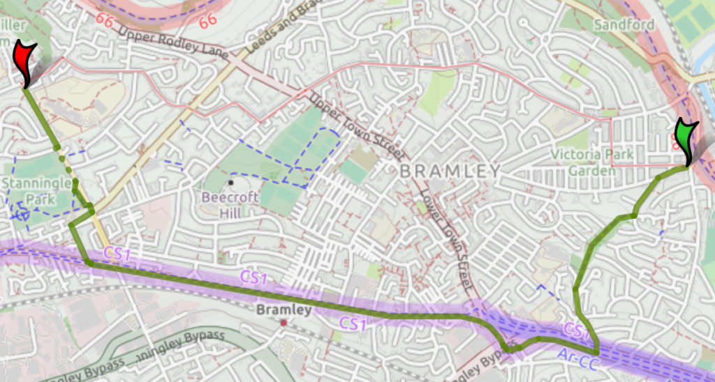
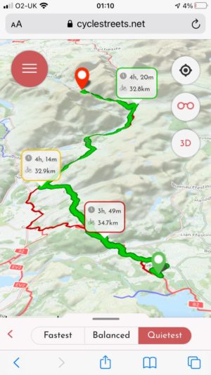
In the early part of 2020 and as part of a project in collaboration with the University of Leeds Institute for Transport Studies, the way CycleStreets measures the quietness of a route was recalibrated. There’s now a much greater preference for effective cycleways versus routes that share road space with motor traffic.
Quietest routes can now be even longer to take advantage of stretches of dedicated infrastructure such as this green route which uses the Leeds-Bradford cycleway rather than the more direct roads through Bramley.
This is part of a longer-term project to move to a new system of cycling states, where routes have a better understanding of infrastructure quality.
Our new mobile website
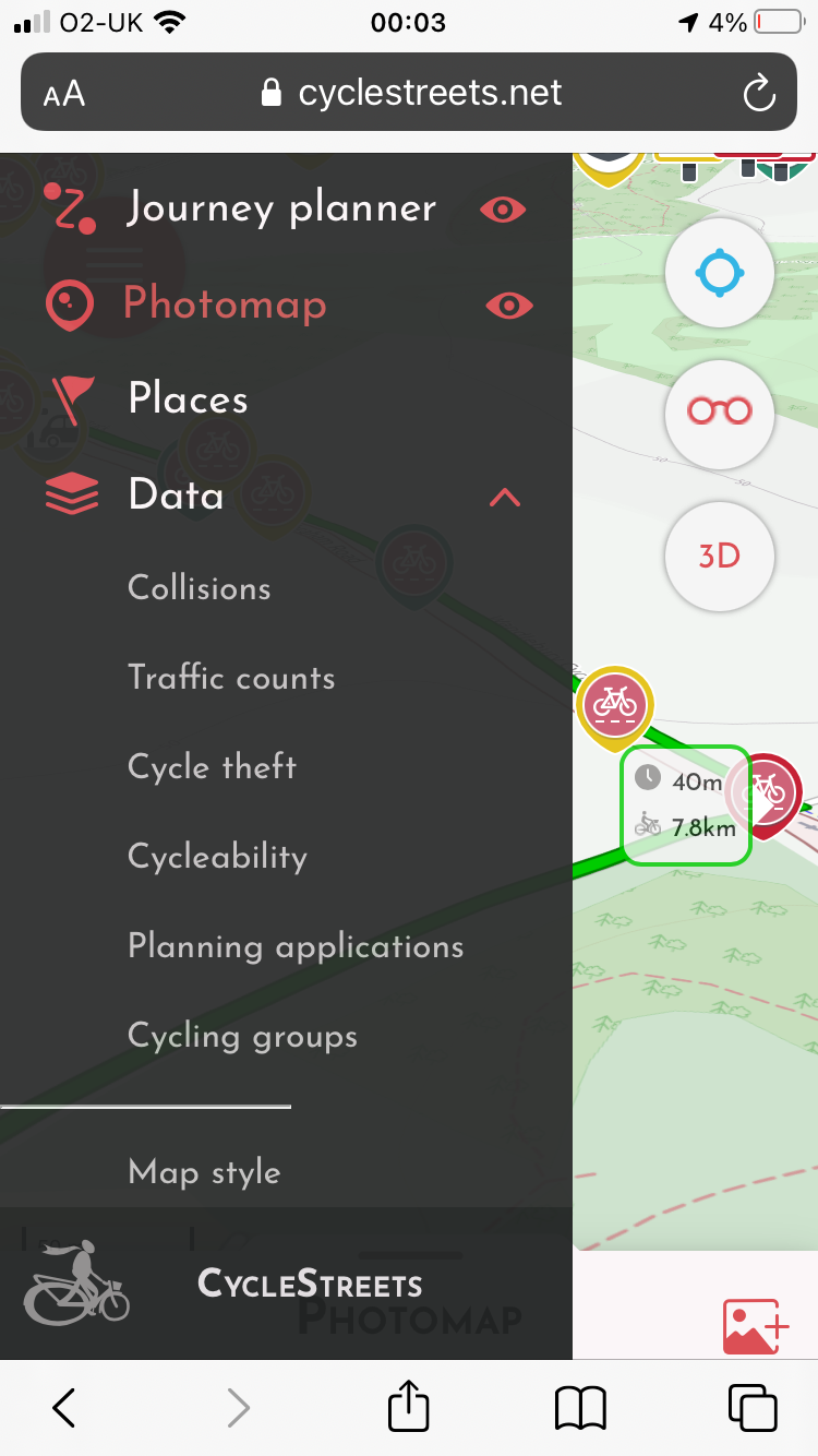
On Christmas Day, we quietly slipped out a public beta of our new mobile website.
This provides our leading cycle routing, Photomap, POIs, data layers for campaigning, and more, in a modern mobile-friendly website interface, with full 3D display including terrain.
The site has a large number of features, essentially combining features from across our various journey planner sites/apps into a single unified interface for the first time.
Infrastructure
We’ve done significant work to automate more of our systems, which has significantly improved scalability as demand for our services increases.
Since late September, daily builds of cycle routing for the UK and Ireland are generated by a fully automatic software robot. Changes to OpenStreetMap should automatically be reflected in the routes selected by CycleStreets from around noon the next day. Updates for other areas (yes, we cover much of Europe, and many other places these days!) are approximately every 2-4 weeks.
We’ve been working on a new e-related routing type – more news soon :)
Over 100 new API keys were issued, enabling third parties to create new apps, websites and research uses.
Photomap
Our Photomap enables anyone to add images of cycling-related infrastructure, mainly for campaigning purposes.
Government policy to encourage local councils to create new cycle infrastructure, and to open up streets for walking and cycling by cutting out through-traffic, saw lots of new schemes, many of which can be seen in the Photomap as users have added them.
The Photomap passed the threshold of 100,000 images, with around 10,000 newly added this year. Most of these images are licensed for re-used (as Creative Commons), and are fully categorised and searchable.
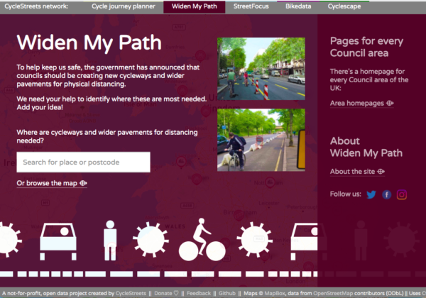
Widen My Path
In response to the government’s call for councils to reallocate road space, we leapt into action in May to create Widen My Path.
The government had created the Emergency Active Travel Fund, and the challenge was to help ensure that desires from local people were translated into the most appropriate schemes on the ground. In other words, facilitate the work of local campaigners wanting this change to happen.
The site builds upon our existing Photomap infrastructure, and is essentially a very focussed user-friendly front-end to it. This user interface is aimed specifically at the areas in which the government seeks to see change. Widen My Path specifically includes features to encourage its take-up by both campaigners and local authorities, such as area-specific pages, a ‘likes’ feature (so that common requests could be concentrated into a single location point, with security to prevent repeat submissions), icons differentiated by size, open data downloads, and more.
Widen My Path has seen over 238,000 user submissions (combined new points and likes), over 400 spreadsheet data downloads (plus more GIS downloads), links from Local Authority websites around the UK, and large amounts of very positive social media coverage. It also acted as the data collection tool for the two main national groups, Cycling UK and Living Streets, who embedded it in their sites, to assist their campaigners and members.
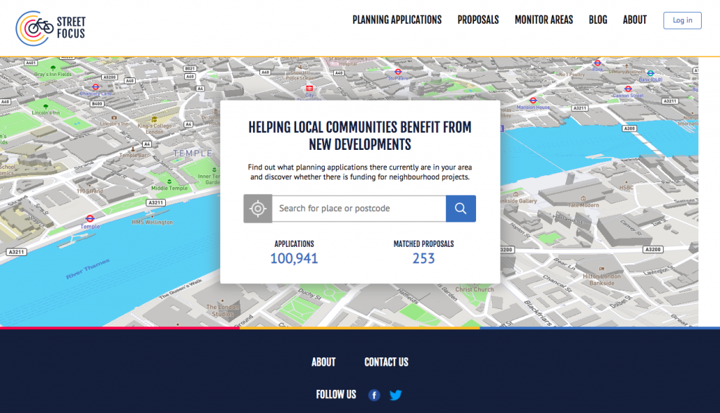
StreetFocus
We have been working on our new project, StreetFocus, which aims to help local communities benefit from new developments. This has been made possible thanks to funding from Innovate UK and a grant from South Cambridgeshire District Council.
With StreetFocus, you can find out what planning applications there currently are in your area and discover whether there is funding for neighbourhood projects. StreetFocus works by combining PlanIt, a national aggregator of Local Authority planning application data, with Cyclescape, our site enabling local people to crowdsource long-desired changes to street infrastructure.
We are now working to finalise the StreetFocus website for launch in April. StreetFocus has now reached a beta level, with much infrastructure now in place, but the map is slow (as there is much data optimisation work to be done first).
Data work
We’ve undertaken data work for various organisations, including:
- Working with Transport for London to help get their Cycling Infrastructure Database into OpenStreetMap.
- Providing cycleability ratings data, that underpins our journey planner, for local authority use.
- Working with London Footways to provide advice on their data.
- Working with Leeds University on a new project, ACTDEV, looking at Active travel provision and potential in planned and proposed development sites.
and more!
Thanks
Thank to you everyone who has donated to our projects this year. We incur thousands of pounds of hosting costs, which donations help significantly with. As well as personal donations, we have received kind assistance from Mythic Beasts and Bytemark, for which we are very grateful.
Our volunteer coders have also made significant improvements, such as our Android app team. We welcome help by getting involved in our many open source projects.
We’d also like to thank particularly the work of OpenStreetMap mappers around the world, who continue to provide the best available data source for cycling and walking infrastructure internationally.
One thought to “2020 – a year in review”
Pingback: weeklyOSM 546 | weekly – semanario – hebdo – 週刊 – týdeník – Wochennotiz – 주간 – tygodnik