The announcement today that Google are to include Sustrans cycle routes alongside other transport modes is welcome confirmation that cycling is becoming more mainstream. Pitching the various transport options side-by-side will allow people to discover that, for instance, a 3-mile journey across a city can be much quicker to cycle than to drive. Making cycling an equal player helps people discover their local cycle network and help make the case for greater use of bicycles.
It is genuinely heartening to see that, 7 years on from the creation by Cambridge Cycling Campaign of one the first-ever cycle journey planners, that this concept has moved on so much. Indeed, that precursor to CycleStreets that we created used version 1 of the Google Maps API.
Google joining the peleton of websites that show National Cycle Network routes, such as CycleStreets, OpenCycleMap and OpenStreetMap, is another step forward in recognising the existence of the ever-growing cycle network of the UK.
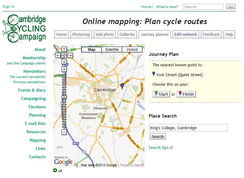
2005: The launch of Cambridge Cycling Campaign’s journey planner, which later become CycleStreets – how things have moved on! It used the Google Maps framework.

7 thoughts to “Sustrans routes and Google”
Odd that Sustrans would be comfortable releasing their map data to Google, but (as far as I know) they haven’t offered it to OpenStreetMap. I assume Google must have paid for the privilege?
As I understand it the National Cycle Network coverage in OSM (and therefore OpenCycleMap & CycleStreets) is all gathered from ground surveys, hence it is less complete but often more accurate than the Sustrans maps.
The cycling data released by the DfT is helping to fill in some gaps around England at least:
http://wiki.openstreetmap.org/wiki/DfT_Cycling_Data_2011
I think this is really welcome, but I’m quite worried by the routes Google is throwing up. For example:
http://goo.gl/maps/TCSj
This takes you down some of the most busy and dangerous roads in Southwark, missing a LCN route that will take you most of the way on quiet roads and off-road cycle paths.
I’ve fed this example back to Google, I hope they improve the options otherwise they will encourage people onto really unsuitable routes.
Pingback: Google Maps adds "bicycling" option to directions - Commuter Cyclist Commuter Cyclist
I really like how positive this post is.
Like Graham S, I was interested in their data source. They might have actually gone out and and got the data, but I don’t think so based on a quick look of a spot with bad/wrong signage.
Does anybody have any contact with Sustrans that could confirm/deny their data sharing?
Gregory, Sustrans have a new YouTube advert that says their routes are now available on Google Maps:
https://www.youtube.com/watch?v=1bFdNFTq8Vw
Good grief, they don’t seem to have put any of the entrances/exits onto my local route, making it useless. OSM was similar until I added them :P
The official Sustrans press release describes it as a “collaboration between charity Sustrans and Google” – no mention of a hefty donation changing hands.
http://www.sustrans.org.uk/about-sustrans/media/news-releases/safe-cycling-routes-to-appear-on-google-for-the-first-time