We fully expected on going live that the system would result in some odd routes. This is because the underlying mapping data that we use is not yet perfect.
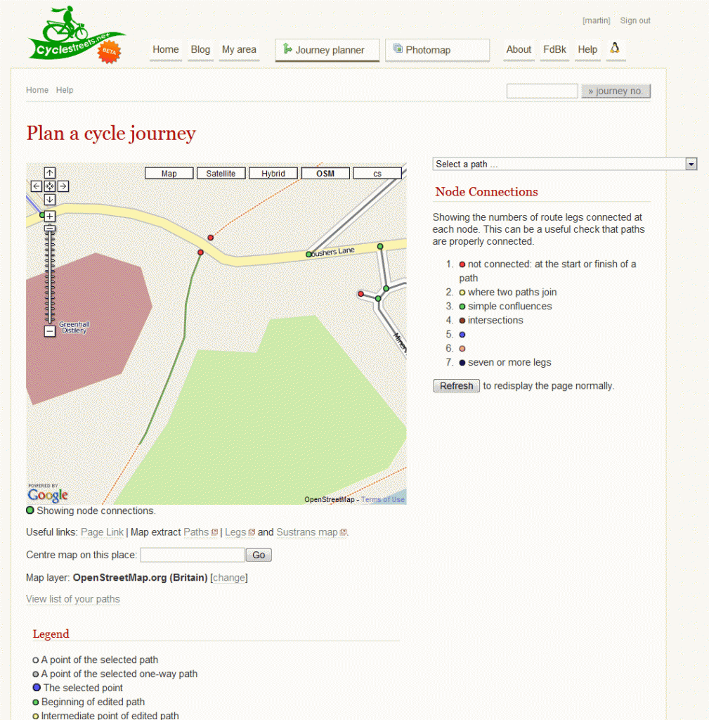
Many of the cases are where what appears as a junction on the visual representation of the map doesn’t actually join up correctly. When that happens, the system can’t therefore plan a route. Here’s an example, from our debugging system. It displays a part of journey #50166.
Notice the two red dots either side of the main road. So we will report this to OpenStreetMap so that the data can be fixed up, resulting in a nice sensible route afterwards.
Feedback to point out obviously silly routes like this are really useful to us. Please do give feedback on any problems on a route you find.
